
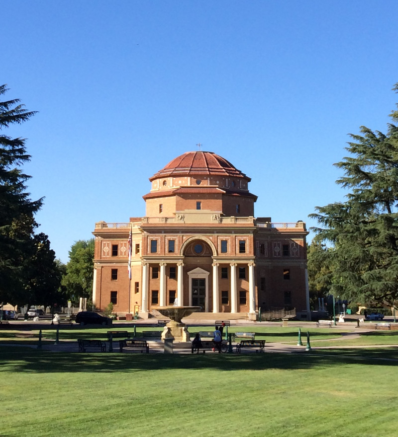
Getting Here & Transportation
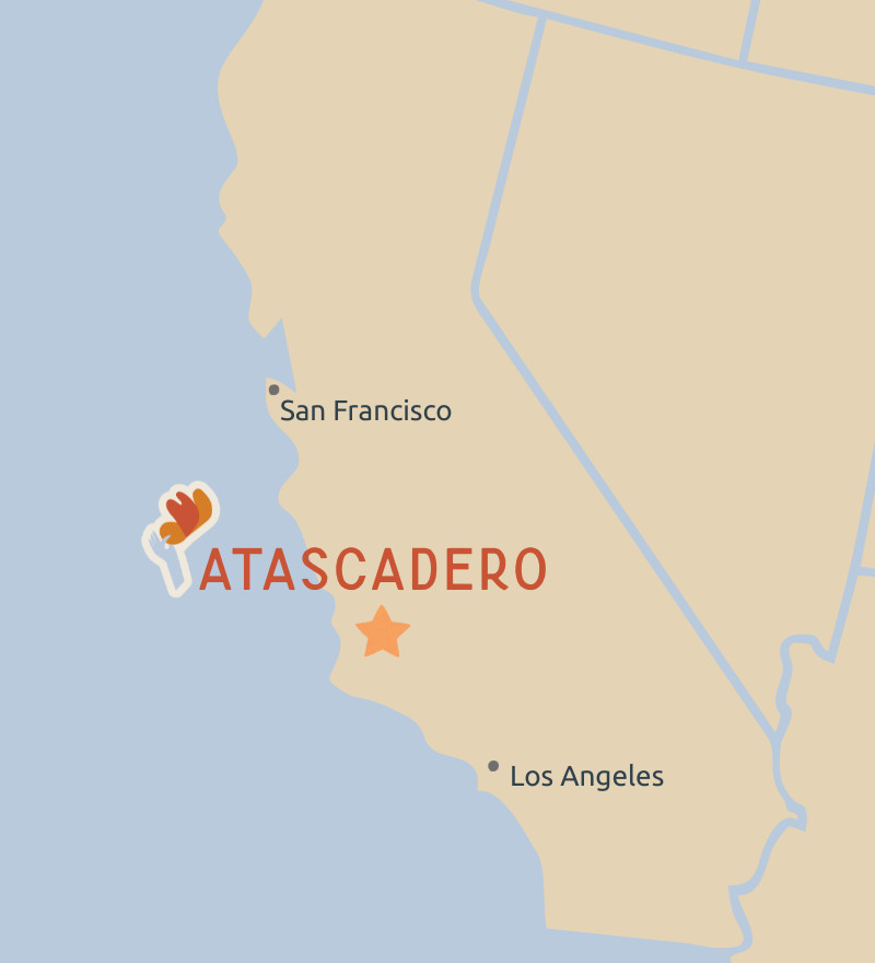
Atascadero is located almost halfway between San Francisco (215 miles) and Los Angeles (210 miles) on Highway 101. Atascadero is about the same driving distance from the Central Valley cities of Fresno (121 miles) and Bakersfield (120 miles).
Airports
San Luis Obispo County Regional Airport – 22.6 miles south of Atascadero
Paso Robles Airport (Private Planes) - 16.6 miles north of Atascadero
Santa Maria Airport - 55 miles south of Atascadero
San Jose International Airport – 171 miles north of Atascadero
Amtrak
Paso Robles Station – 10.6 miles north of Atascadero
San Luis Obispo Station – 18.2 miles south of Atascadero
Convenient to Neighbors
Conveniently located right off Highway 101, Atascadero is an easy drive from all directions, including Los Angeles, the Bay Area, and the Central Valley. It’s a centralized spot that makes getting here simple and stress-free, perfect for bringing people together for a weekend celebration or group getaway.